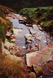
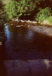
 Water, though not regarded generally as of geological concern, has had a profound effect upon this district. From the acid peat uplands flow the headwaters of many rivers and streams. This high ground has an average rainfall of one metre (938mm to 1313mm) per annum, whereas Huddersfield town centre had a mean annual rainfall of 814.1mm in the seven years to 199
 6. (University data). The soft, pure water flowing from the peat uplands is used in huge volumes by the local textile industry for treating, washing and dyeing wool. Dams were originally built by mill-owners across the steep-sided valleys to ensure a constant supply of water. As the industrial revolution progressed the demand for water power grew even after the steam engine replaced the water wheel as a power source. Many of t
 he Colne valley reservoirs were built for the Huddersfield Narrow Canal. Maintaining a water supply to the summit level of the canal was vital, as this section always lost water when barges passed through its locks.
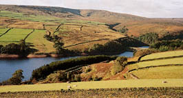
The underlying geology is important in the locations chosen for siting reservoirs. The strata must be stable and impervious, and suitable rock and clay need to be available locally for dam construction. Natural springs and wells provided water for early settlements but were insufficient to supply drinking water to a growing population. To cater for this need the Victorians built reservoirs which are still in use today and can be seen in many valleys on the eastern slopes  of the Pennines. Millstone Grit and Lower Coal Measures sandstones are sources of water supply for local mills, factories and Digley reservoirbreweries, pumping from private springs or boreholes. For more information about the Rocks and Landscapes of Huddersfield see our other pages on Local Geology and our guide to the Geology of Huddersfield.